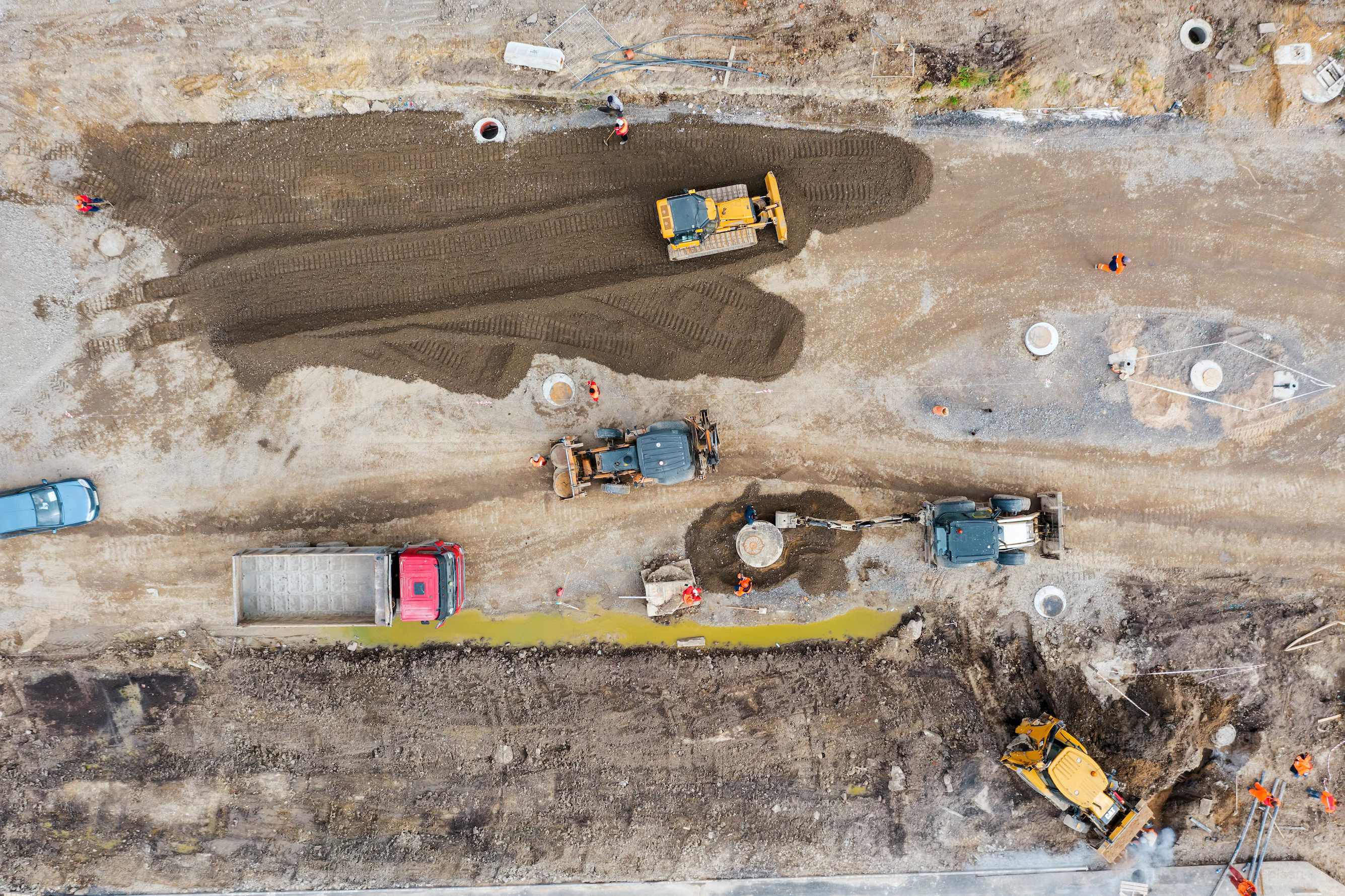
CONSTRUCTION
Lidar drones can help with things like surveying and mapping the site, monitoring progress, and checking for defects and safety hazards. They can also analyze factors like soil erosion and tree coverage to help minimize environmental impact. Lidar drones can even track equipment and materials and identify maintenance needs. All of this helps make construction projects faster, cheaper, and safer.
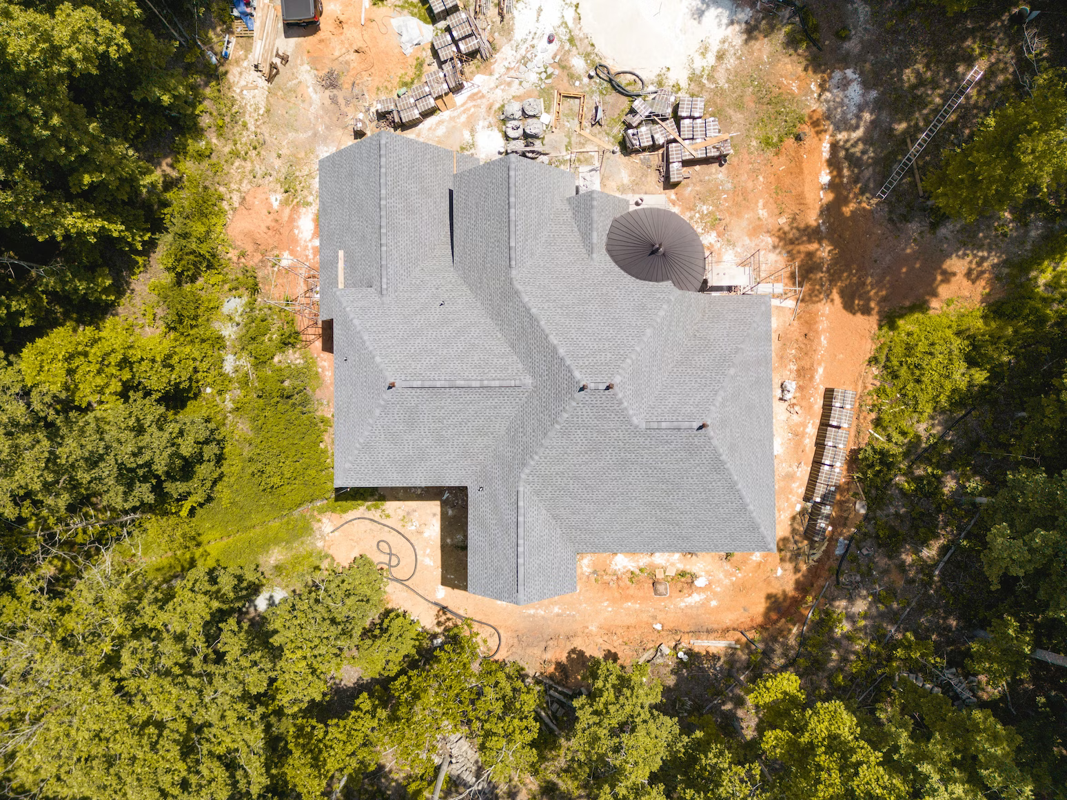
RESIDENTIAL
Lidar drones are helpful for a variety of tasks related to homes and properties. They can be used to inspect roofs for damage or defects, survey land to determine property boundaries, create 3D models of homes for renovation planning, identify areas where energy is being wasted, and manage residential properties by checking for maintenance issues and assessing the overall condition.
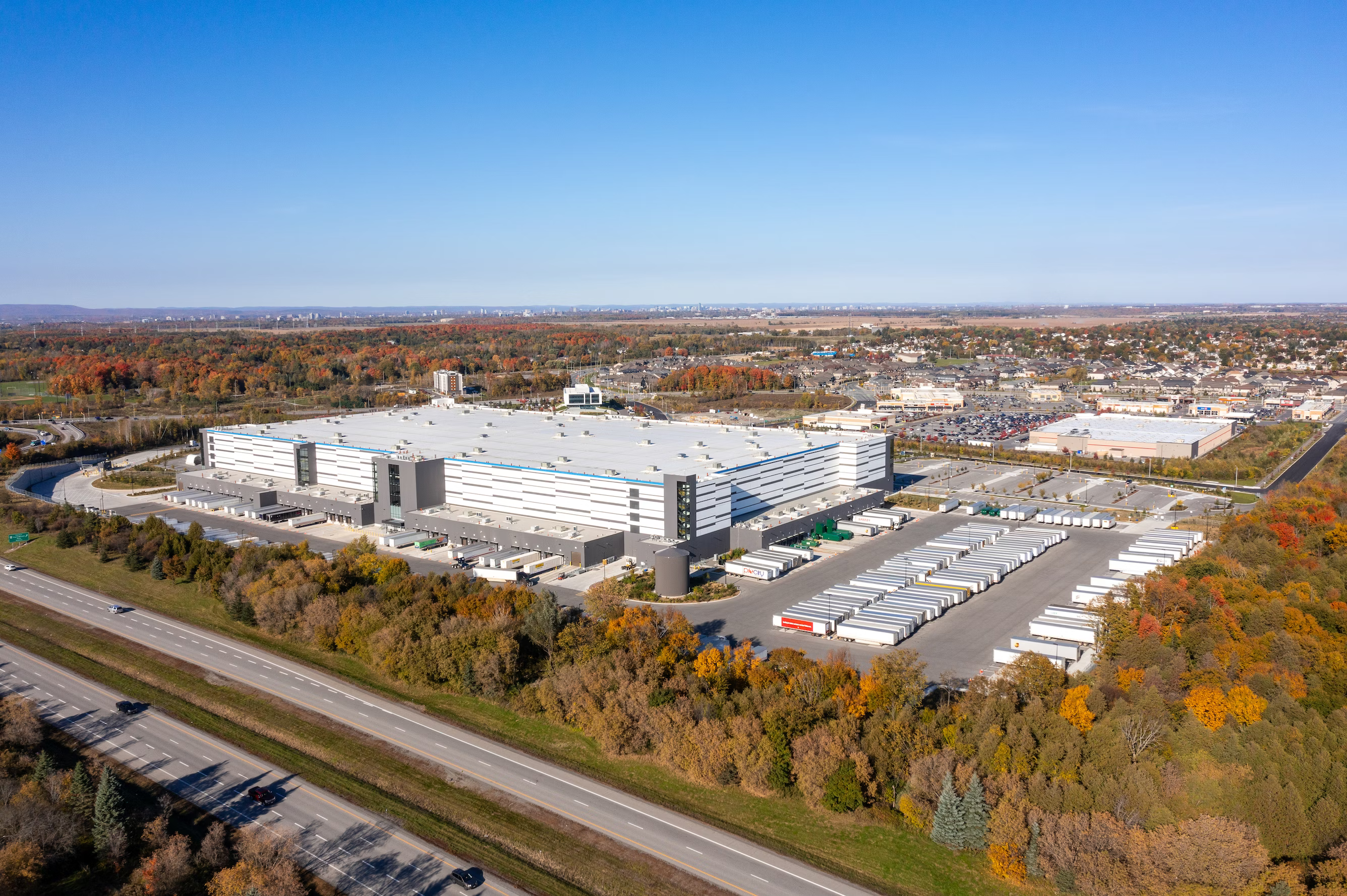
COMMERCIAL/INDUSTRIAL
Lidar drones are useful for getting detailed and accurate 3D data of terrain, structures, and objects. They are commonly used in commercial and industrial settings for things like construction site surveying, precision agriculture, mining and quarrying, environmental monitoring, infrastructure inspection, and emergency response. Lidar drones are cost-effective and efficient, and provide valuable data for a variety of purposes.
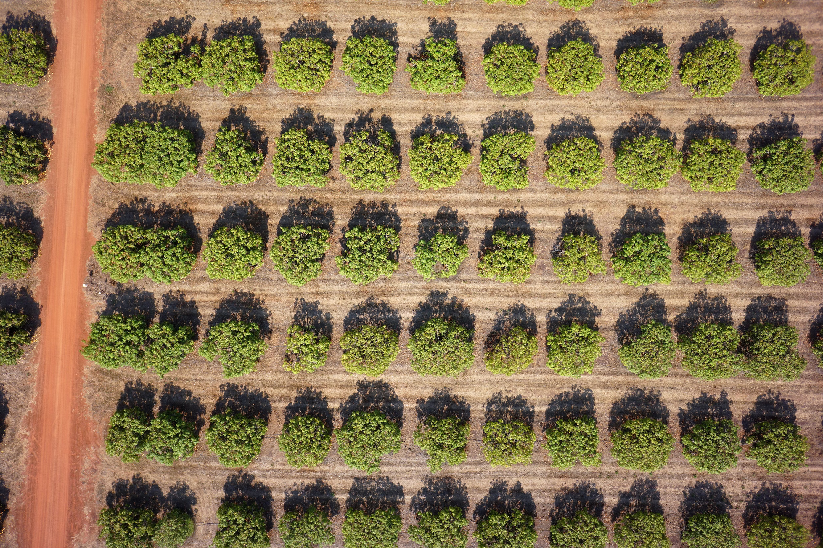
AGRICULTURAL
LiDAR drones can take high-resolution images of crops to monitor their health and detect any problems early on. They can also create 3D maps of farmland, which help farmers to use resources more efficiently and reduce costs. By mapping the soil, farmers can make informed decisions about crop selection and fertilization. LiDAR drones can estimate crop yields by measuring the height and density of crops, allowing farmers to plan ahead. They can also detect pests and diseases before they become widespread, reducing crop losses. With LiDAR drones, farmers can identify areas that require more or less irrigation, reducing water wastage and improving crop yields. Finally, they can create detailed maps of farmland to plan the most efficient routes for harvesting crops.
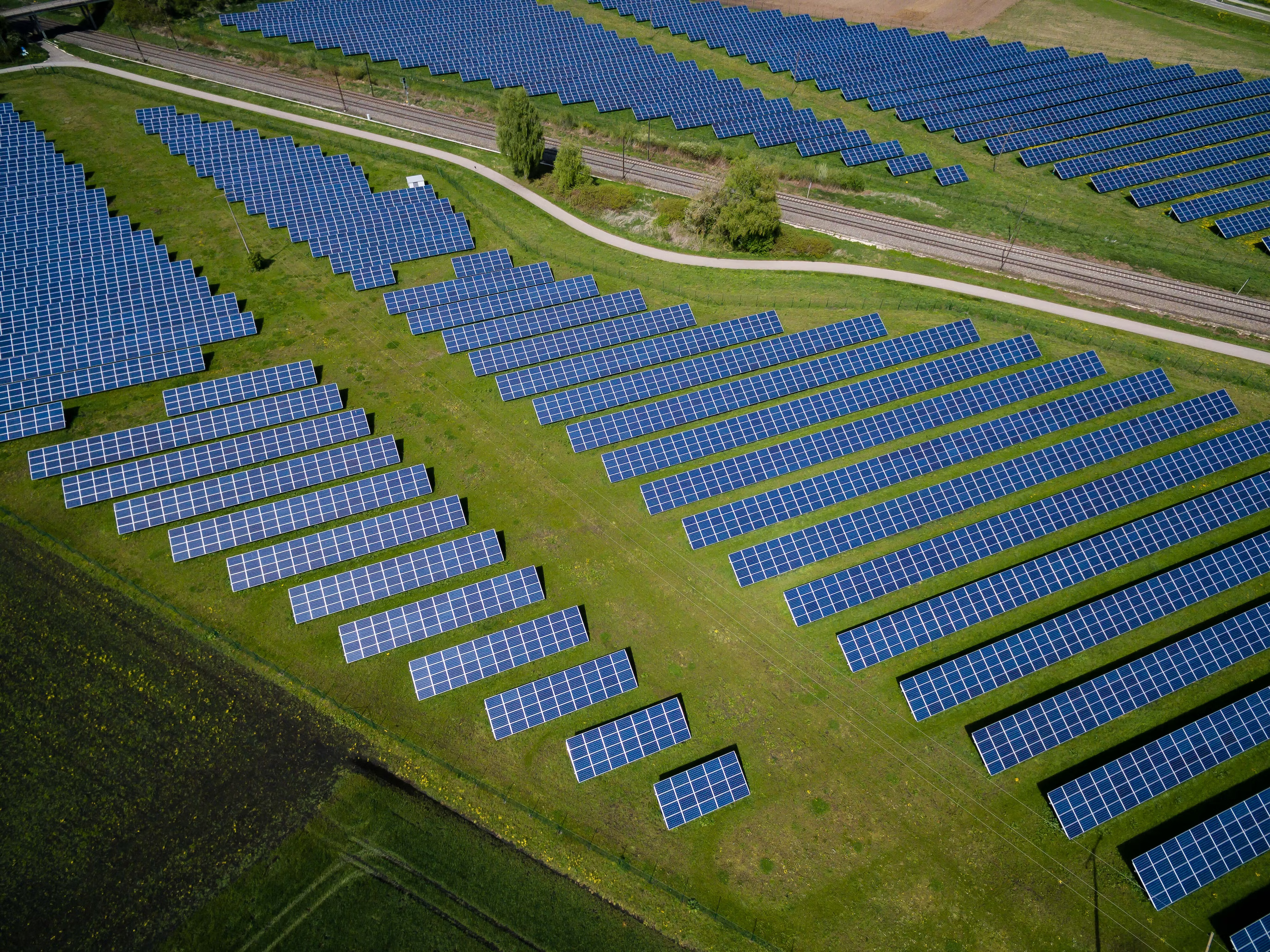
RENEWABLE ENERGY
Lidar drones can help with renewable energy projects. They can find the best place for wind or solar farms and show any obstacles that could cause problems. They can also tell us how much wind or sunlight there is in an area so we can put wind turbines or solar panels in the best spot. Lidar drones can also check if anything needs fixing in the renewable energy systems and see if they are working well. They can also check how renewable energy projects affect the environment and help us make them better for nature. Finally, Lidar drones can tell us where we can save energy by looking at buildings and other things that use a lot of energy.
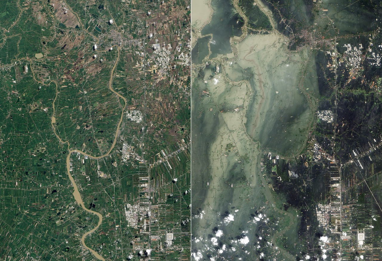
DISASTER/EMERGENCY
Lidar drones are helpful in disasters because they can quickly and accurately map affected areas. They can take pictures and scan large areas, which helps rescue teams find survivors and avoid dangerous areas. Lidar drones can also create 3D maps to plan rescue missions and monitor disasters like wildfires. Using lidar drones can save time and resources and help rescue teams save lives.